Kellen Smetana
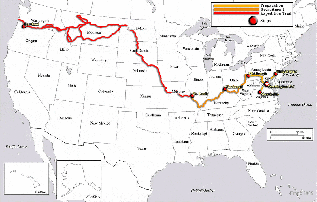
There are some weeks you remember why bicycle touring is more than simply riding past beautiful scenery. Reuniting with friends from adventures past and bringing them into the new, testing your mettle against the everlasting might of the elements, and exploring some of the most wondrous creations of the grand planetary scale: this week was one of those weeks.
There are some weeks you remember why bicycle touring is more than simply riding past beautiful scenery. Reuniting with friends from adventures past and bringing them into the new, testing your mettle against the everlasting might of the elements, and exploring some of the most wondrous creations of the grand planetary scale: this week was one of those weeks.
It's more than just the bike
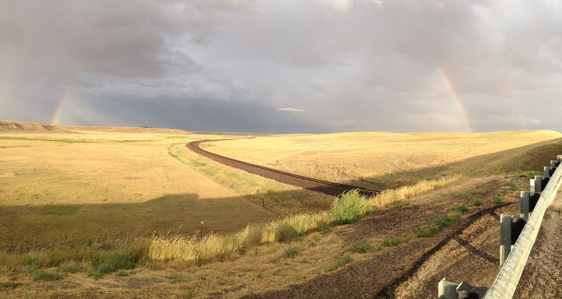
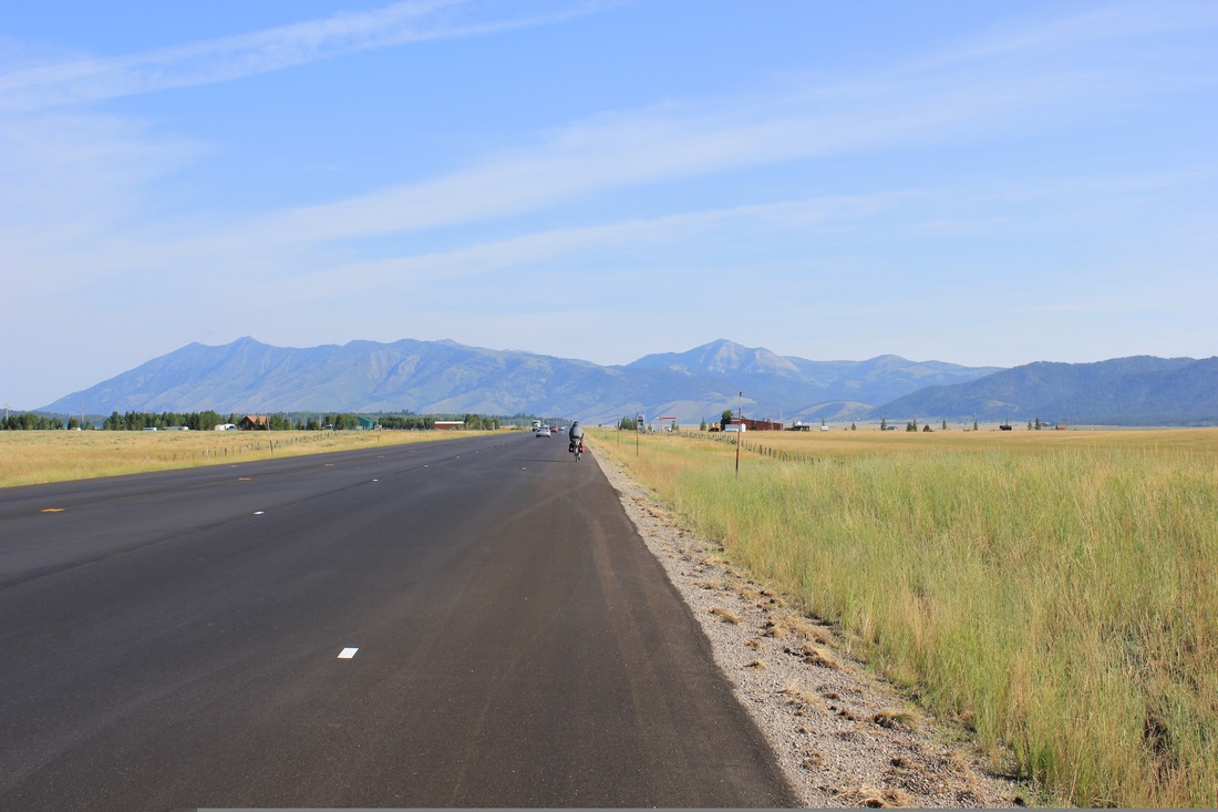
After a fabulous and filling stay with Willie and Don, we departed the growing Bozeman, continuing north to our next major destination: Great Falls, Montana. It was a speedy ride. The first evening back on the road, a wicked storm descended, and we were lucky to duck under a park pavilion just after dusk, keeping us dry for the evening. The next day we timed our ride to lunch on the lawn of the capitol building in Helena and even managed a mini-tour of the stately halls on our full stomachs. That evening, we camped in a woman’s yard in Wolf Creek, a small town hemmed in between deep red canyon walls. Her husband had just driven to the other side of the ridge to check on a wildfire started by a lightning strike in the storm we hid from the previous night. At only 50 acres, it was just your everyday backcountry fire for these folks, and everyone we talked to seemed to think it was very much under control; still, it was cool to see the souped-up fire suppressant trucks racing about. It was also interesting to interact with some of these responders, who come from all over the state and country to put in multi-week shifts out in the wildfire country out west.
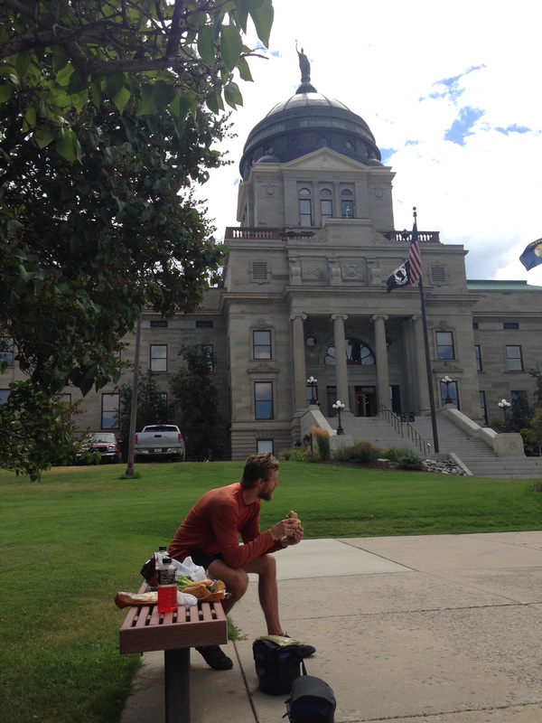
Stately lunch
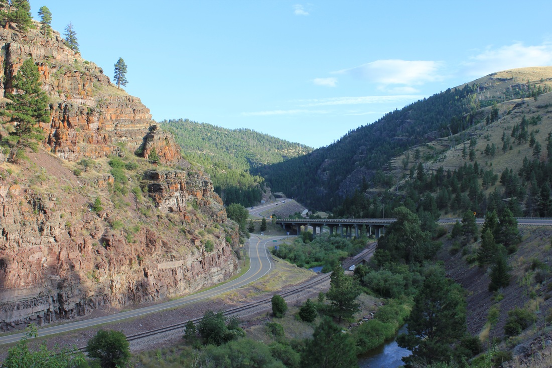
Wolf Creek Canyon

Wildfire trucks racing off over the ridge
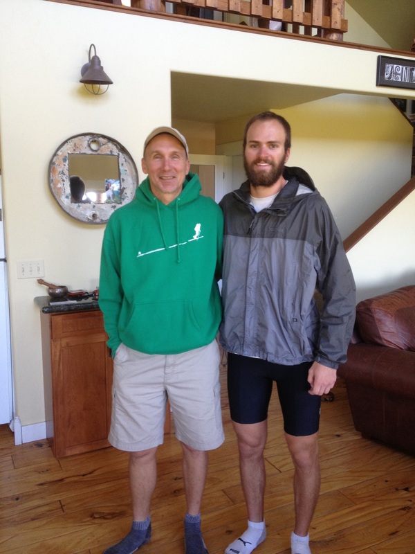
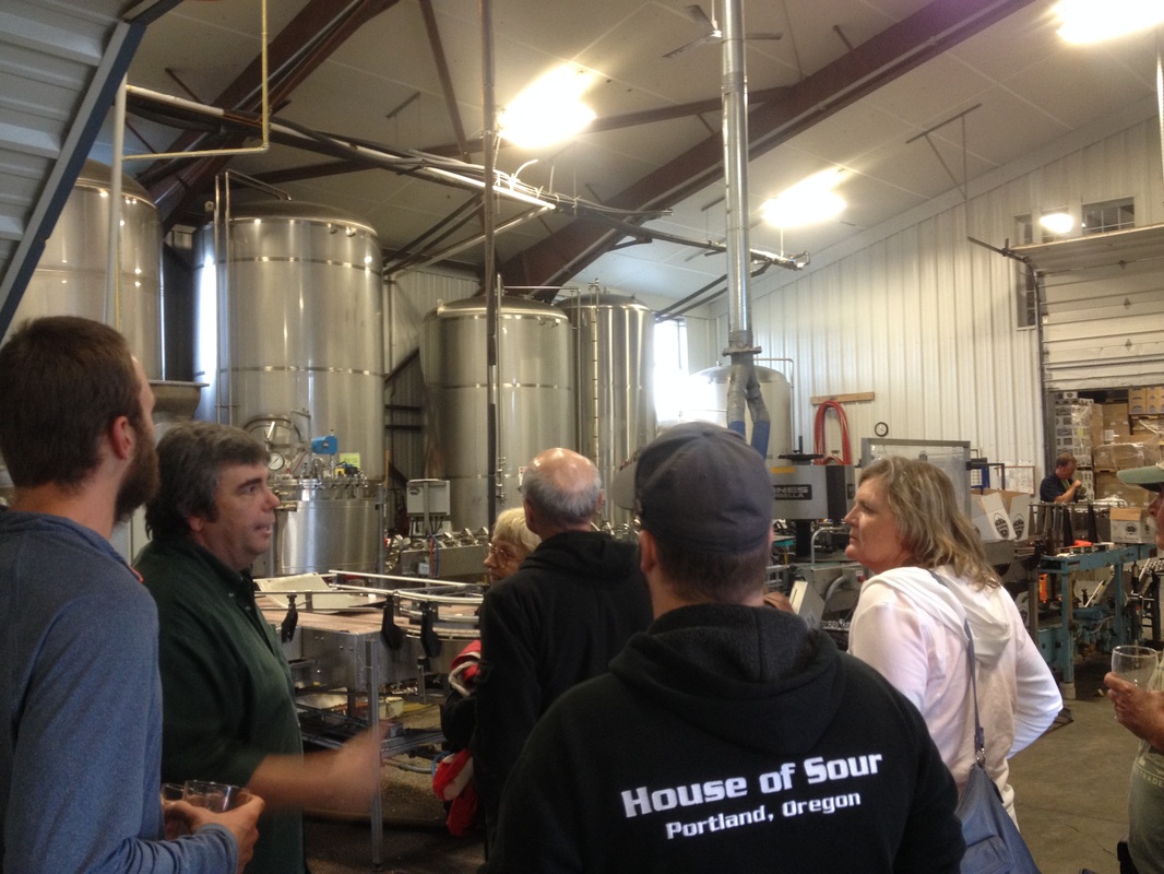
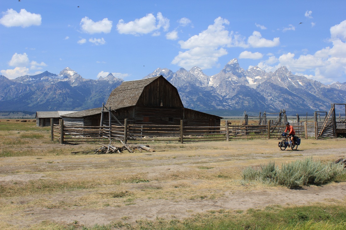
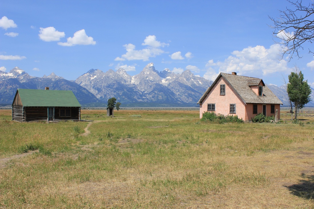
As has been the case across the state, we landed yet another great host in Great Falls. Dropping down into the valley about 100 feet from the mighty Missouri River, we were greeted by John and kids Mark and Luke. John has woven himself into the fabric of the cycling scene in the town and was able to navigate us around almost entirely on bike paths. He was also incredibly knowledgeable on the history of the city and its importance to the Lewis and Clark expedition. One of President Jefferson’s many tasks for the adventurous team was to map back to the source of the Missouri River; it was here in Great Falls, after all, they discovered they had chosen the correct fork of the river and then spent nearly three weeks portaging boats above the five falls. On our rest day Cory and I paid a visit to the Lewis and Clark Center in town: it’s quite cool to see how much of our recent journey has overlapped with theirs and also to imagine what it must have been like for them without maps or any real knowledge of the route ahead. A truly adventurous duo; I was glad to have refreshed my memory of their epic two-and-a-half year expedition. The next day, Cory and I moved into the city, hit 4,000 miles en route, and finally hailed the arrival of our friend Theo!
Riding down to stay along the Missouri
Crossing paths with the great explorers Lewis and Clark
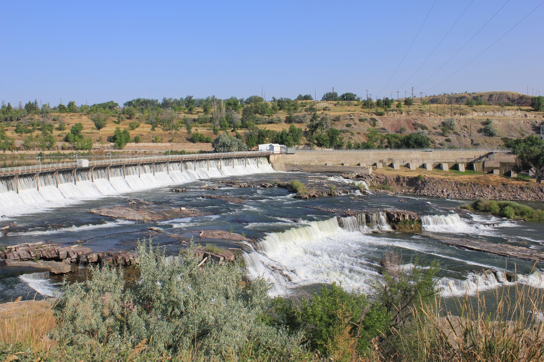
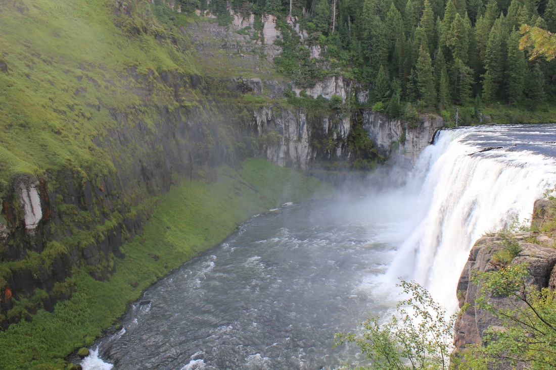
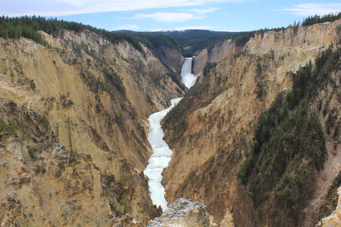
One of the five Great Falls
Over three years ago on the last major tour, I pulled my bike into a hostel in Bishkek, Kyrgyzstan. Upon arrival, the owner quickly showed me another loaded bike parked outside and introduced me to the adventurer behind the wheels, Theo Brun. It didn’t take long to uncover our shared route toward Europe and lay out plans to ride together. A week later, Cory had arrived and the three of us set out for two months of cycling across the deserts of Central Asia on some of the most unforgiving roads in the world. Somewhere in the depths of western Uzbekistan a bond was formed strong enough to bring our friend back for a second tour with the Smetana brothers. He left his flat in London to travel to Great Falls, and he will finish the ride with us to the Pacific.
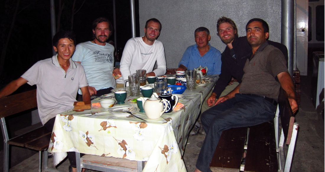
Our first dinner together in Uzbekistan three years ago
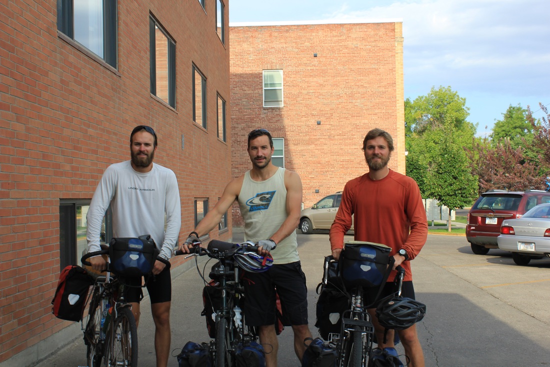
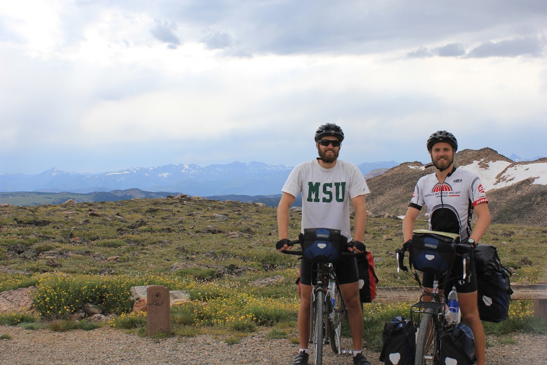
The triumvirate returns
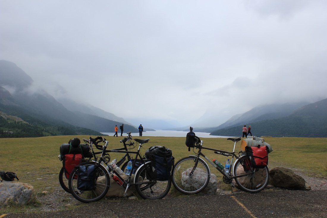
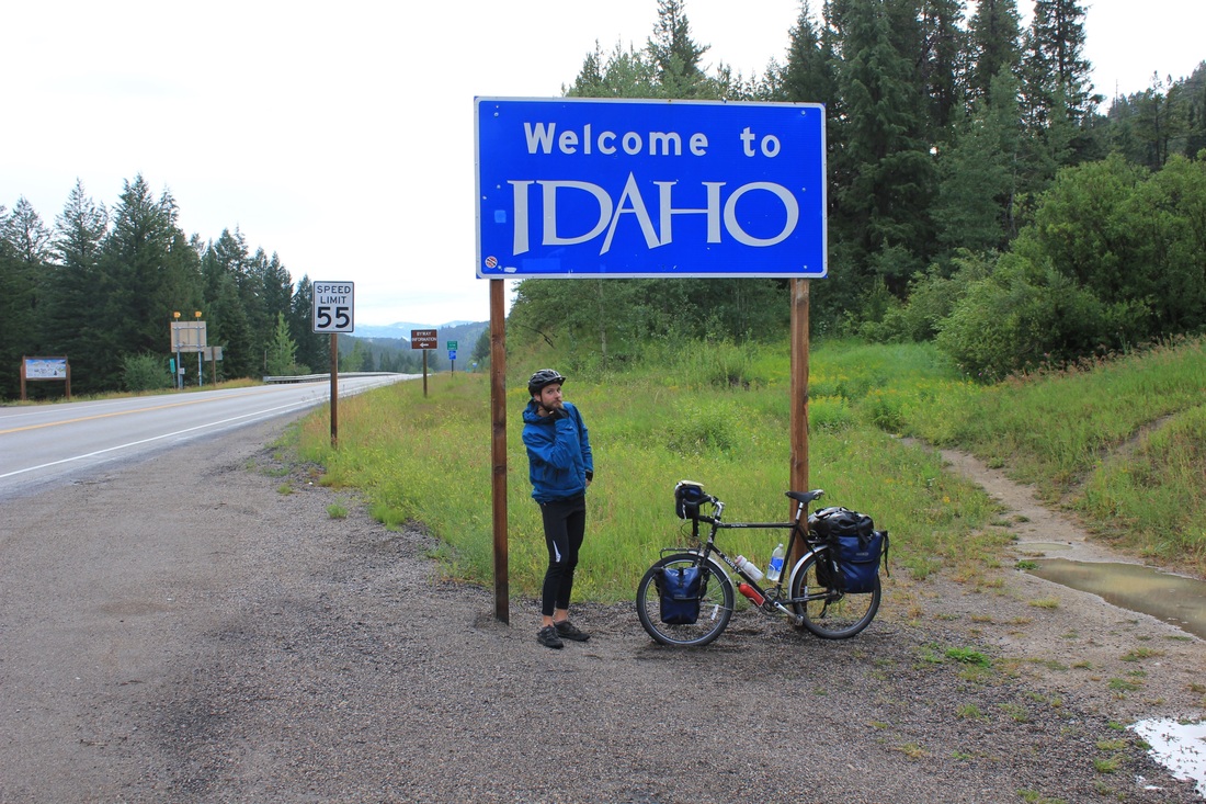
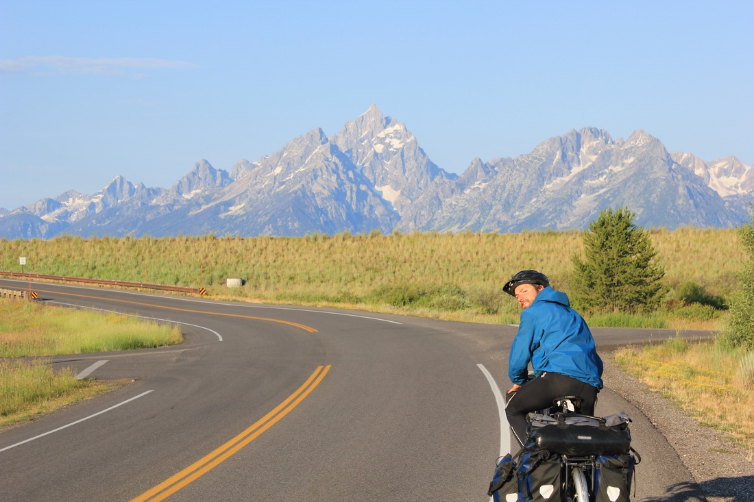
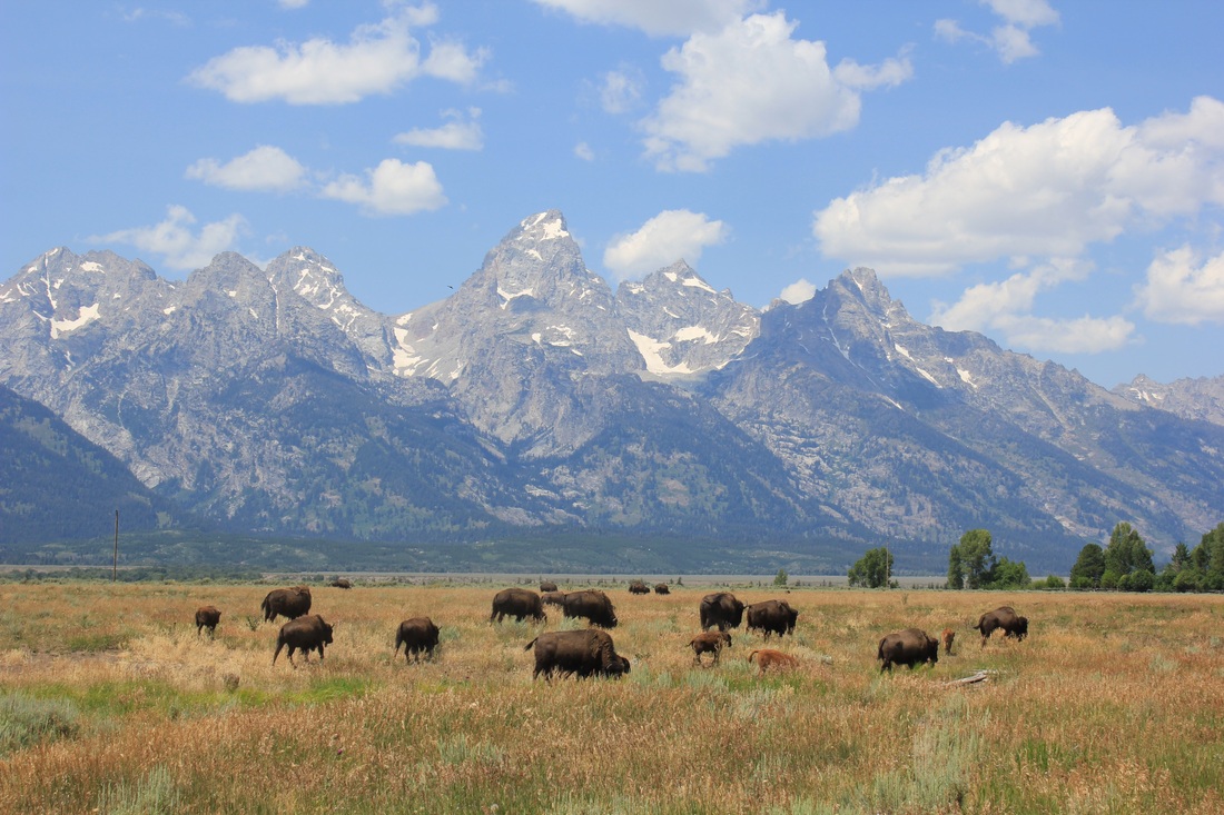
We persuaded Theo to cross the pond with visions of glorious cycling challenges and adventure, and boy were we in for it! His bike was built in the first few hours. The next morning we departed north for a couple days back in the great western plains. Cruising across this barren territory of barley fields and Native American reservations, we blasted out 180 miles in the first two days, riding deep into the night and battling incessant headwinds and cold rain under a constant shroud of clouds. I suppose Cory was just getting a little payback for what Theo and I put him through his first few days from Tashkent three years prior. The riding was hard and Theo survived. Two days from Great Falls we had already made it far into Alberta, Canada and arrived at the doorstep of Waterton National Park.
Enjoying good omens along the way
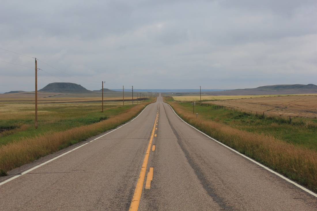
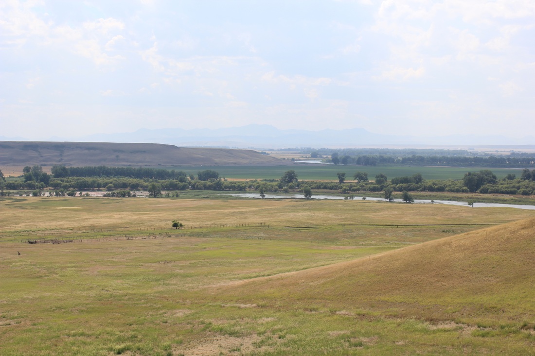
Riding across the empty lands of western Native American reservations
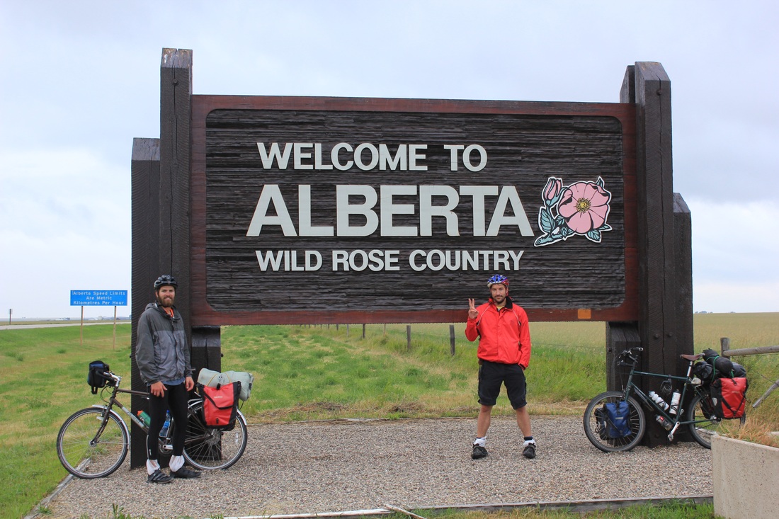
Crossing back into Canada
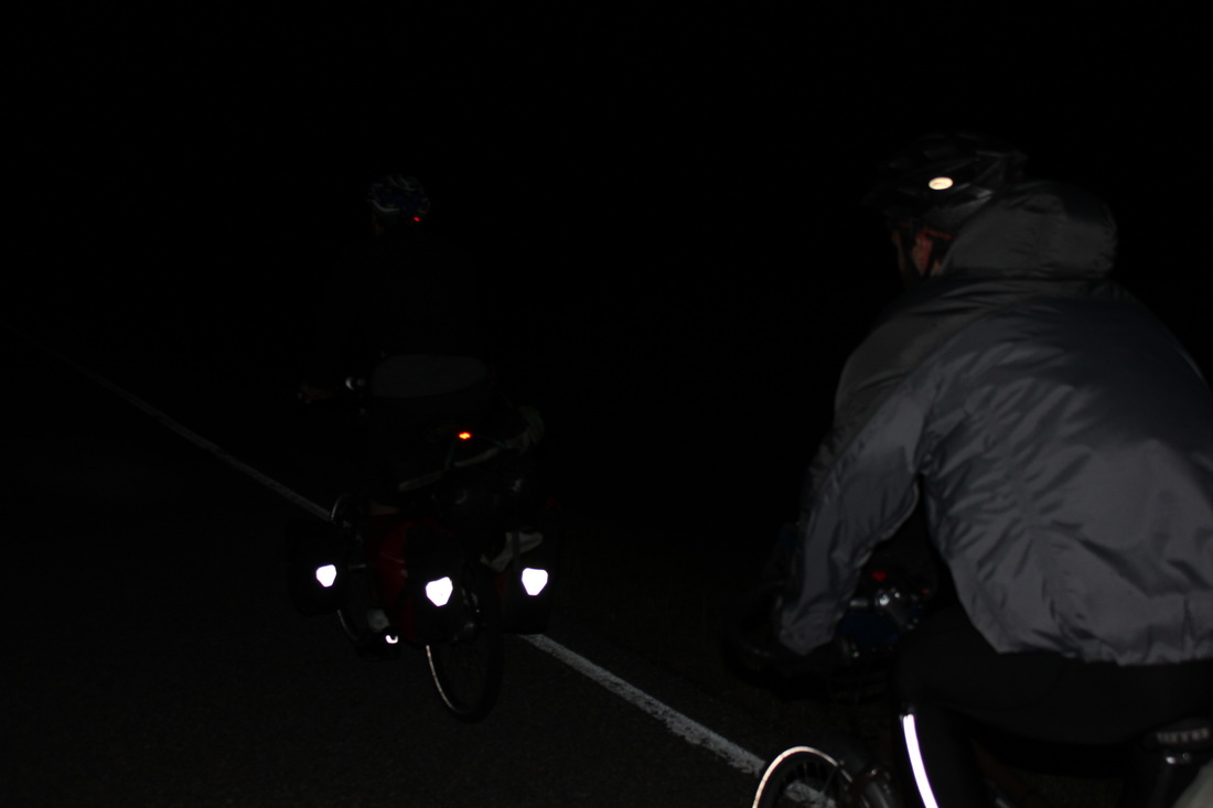
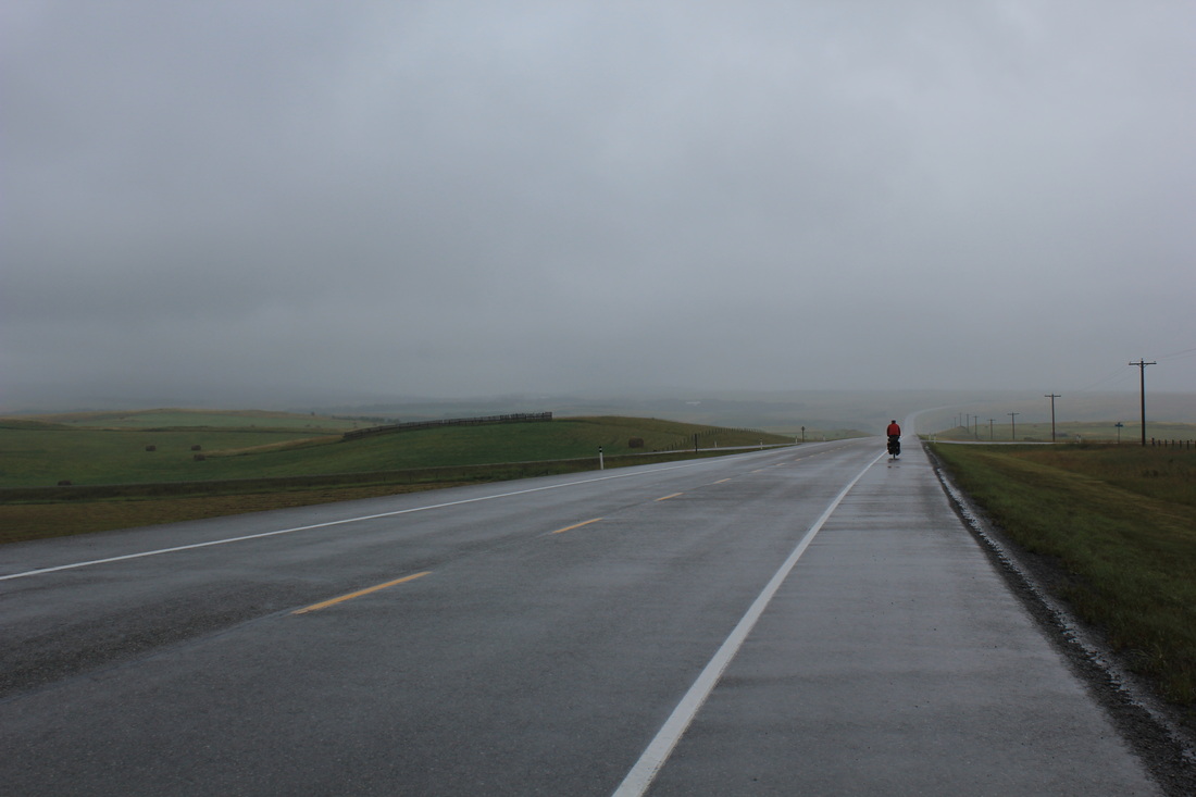
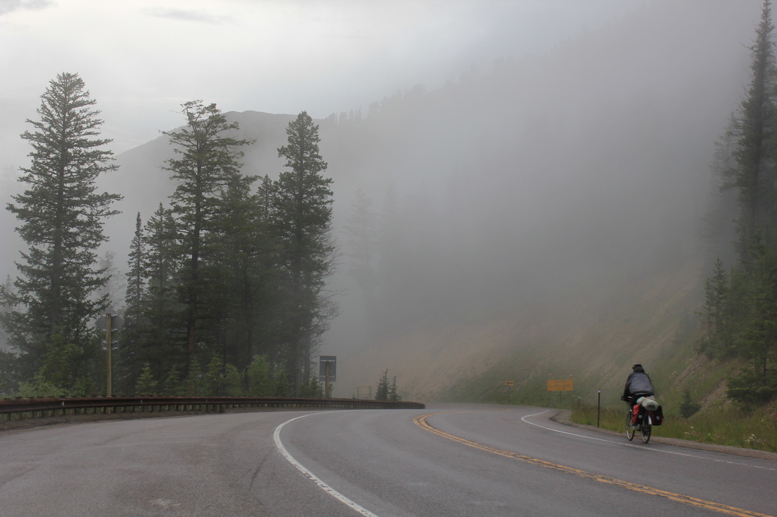
What it's like riding at night
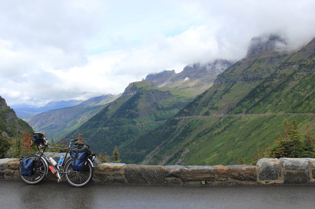
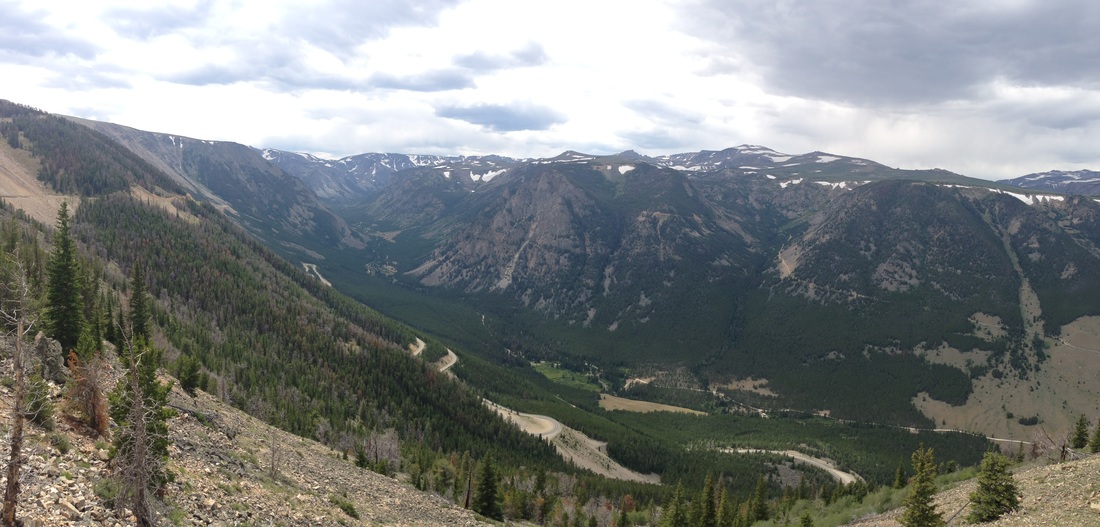
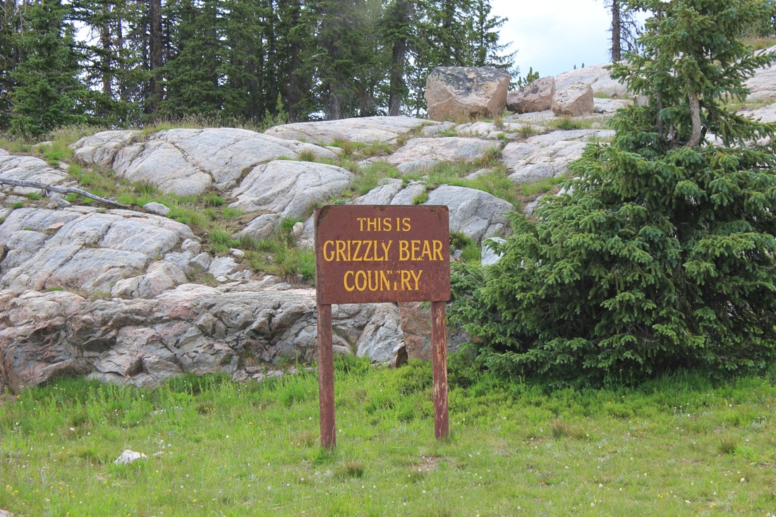
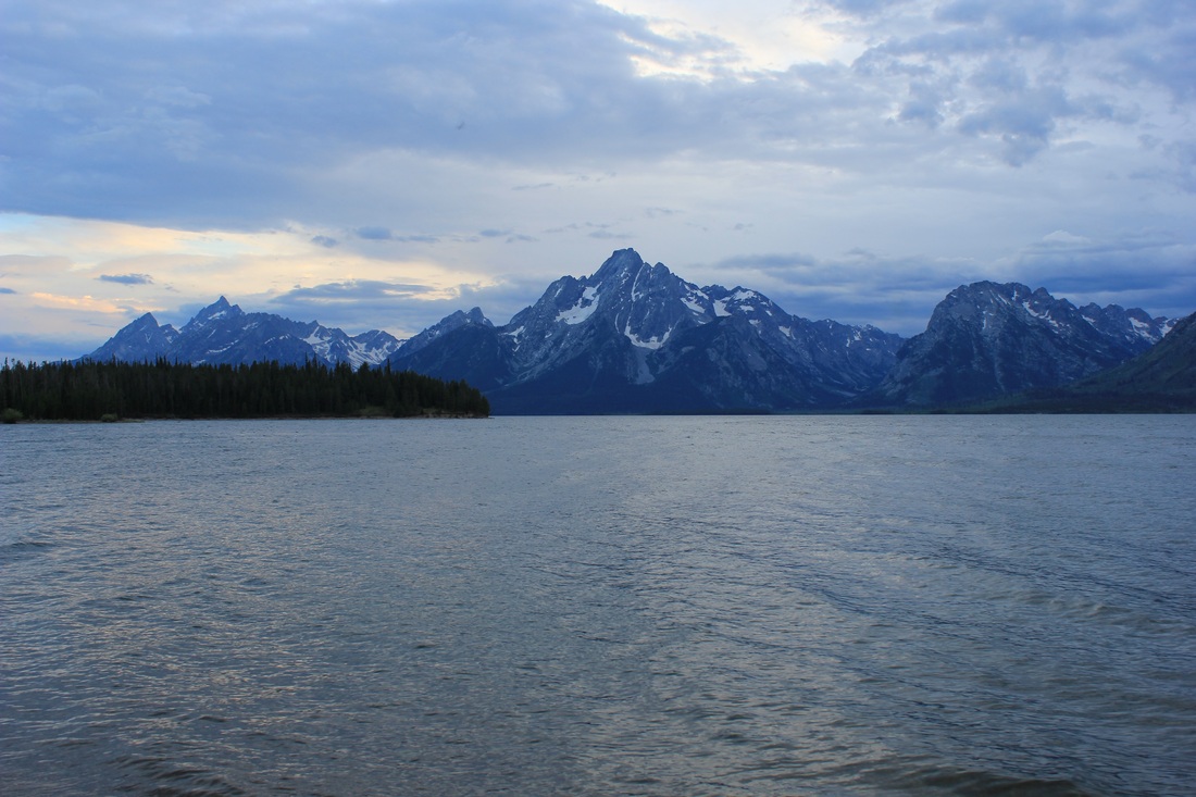
I find it useful for my own memories to parse an extensive trip like this into major focal points or segments: this week surely centers around Waterton-Glacier National Park. This joint national park spans the US-Canada border and houses dozens of gaping glacial gorges and valleys, some of the most impressive geologic masterpieces of the last ice age. I envisioned the three of us riding across a sparkling, sunny, stunning landscape laughing like we were kids in The Sound of Music. I should know better by now. We woke up the next morning to weather that seemed to arrive from the gates of Stalingrad. The next three days it was bitter cold; rain soaked our bones and clouds shrouded down over all the mountainous heavens like a thick coat of white fur. Because temperatures dropped below 32 degrees, high elevations of the park actually got new snow – in August!
Ready to set out into the cold
Riding under a blanket of clouds and rain
Alas, as the appropriate proverb goes, we just rolled with it. In fact, I must say we quite enjoyed it in a way only traveling cyclists can. The clouds brought fleeting mystery to the mountain peaks, and the cold rain brought some hearty tests of character. After all, what would adventure travel be without a bit of adventure?
A mystic shroud over the mountains
Happy to put the "adventure" into "adventure cycling"
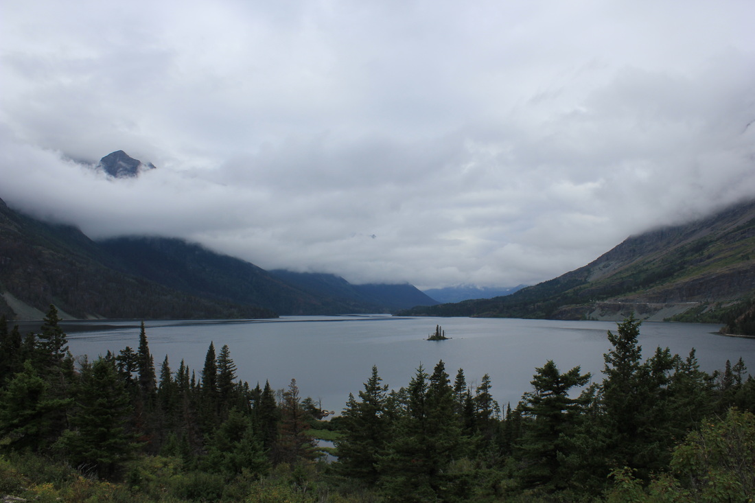
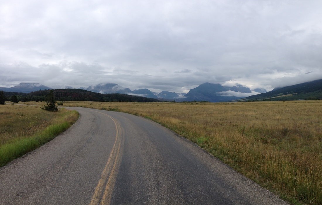
Our first full day back in Canada, we climbed up into Waterton Lakes National Park. Fixing flats and battling rain all afternoon, we looked so pitiful that the girl working the park entrance booth simply let us in free. After spending a night in Waterton Village we explored the majestic Prince of Wales Hotel, overlooking mountain-bound Upper Waterton Lake. The lake is an amazing specimen of the grand scale of carving power evident in the sliding glaciers. Later that day we climbed back into Montana and down to the small town of Saint Mary, sitting on the border of Glacier National Park and marking the eastern end of the renowned Going-to-the-Sun Road. After our initial push out of Great Falls, we had modified to shorter days in an effort to stall, hoping the clouds would eventually break and give us a chance to ride across the park in all its glory. This proved to be a prescient move.
Looking south across Upper Waterton Lake
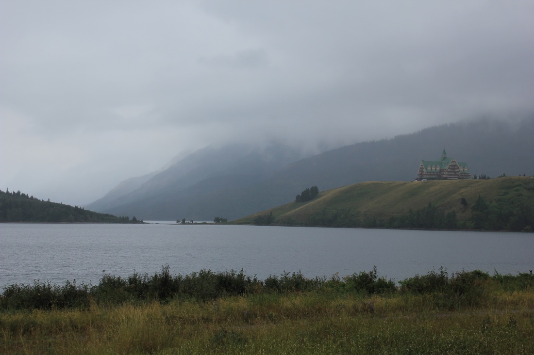
The majestic Prince of Wales Hotel
Crossing back into the US
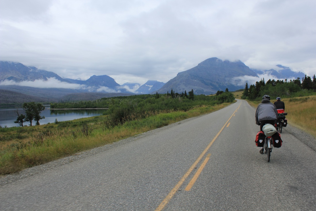
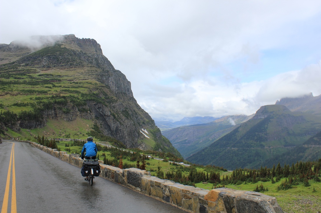
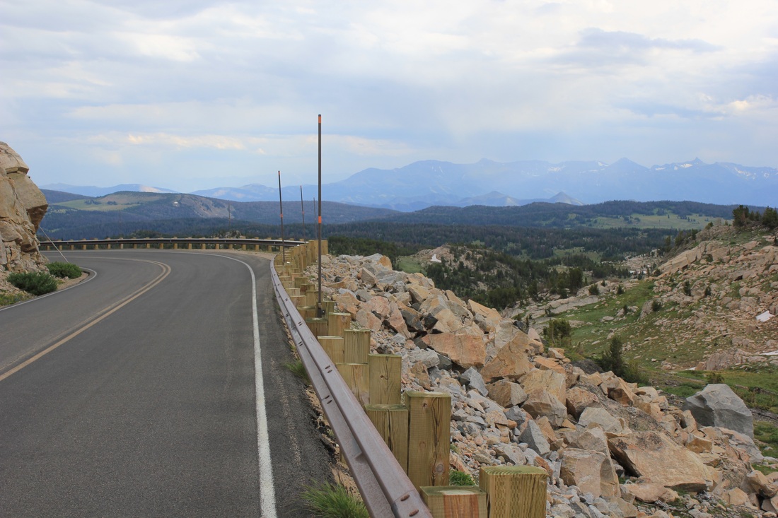
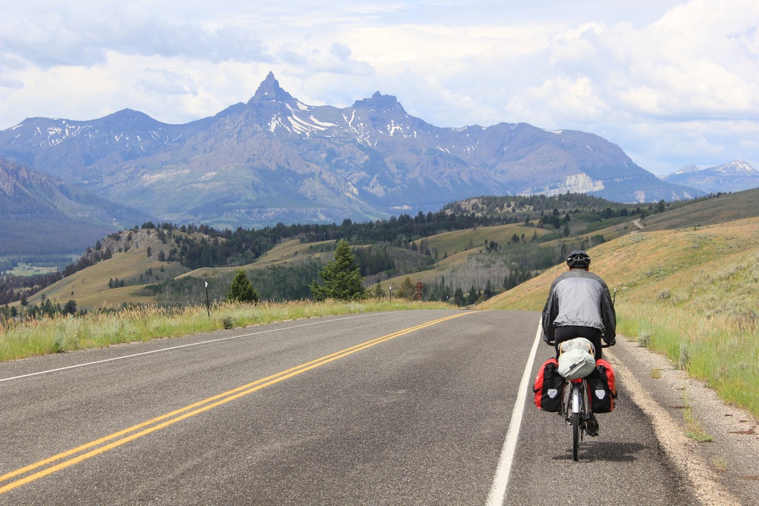
The next morning we awoke, crossed into the park, and began our ascent of the famous Going-to-the-Sun Road. This feat of engineering, completed in 1933, took over 12 years to build and is still the only road across Glacier National Park. For over 50 miles, it winds up and over the continental divide at Logan Pass, carving out a ribbon of road clinging to the side of unbelievably steep glacial peaks. Still under a blanket of mist, we pedaled past Lake Saint Mary and began our climb up the 6% grade to Logan Pass. The mist turned to rain as we ascended into the clouds, grinding along the curvy path of the road as it climbed higher and higher. By early afternoon we reached the top and ducked into the visitor center to have lunch out of the rain. Because you burn so many calories climbing, riding up in cold weather is actually not so bad – each one of us only wore a single shirt; going down, however, is a different story. The wind of the descent rips all heat away from your body. So, bundled up in all our clothes, we prepared to descend twenty miles into the clouds and rain of the western slopes.
Early morning departure on the Going-to-the-Sun Road

Exiting a tunnel into a wall of mist near the summit

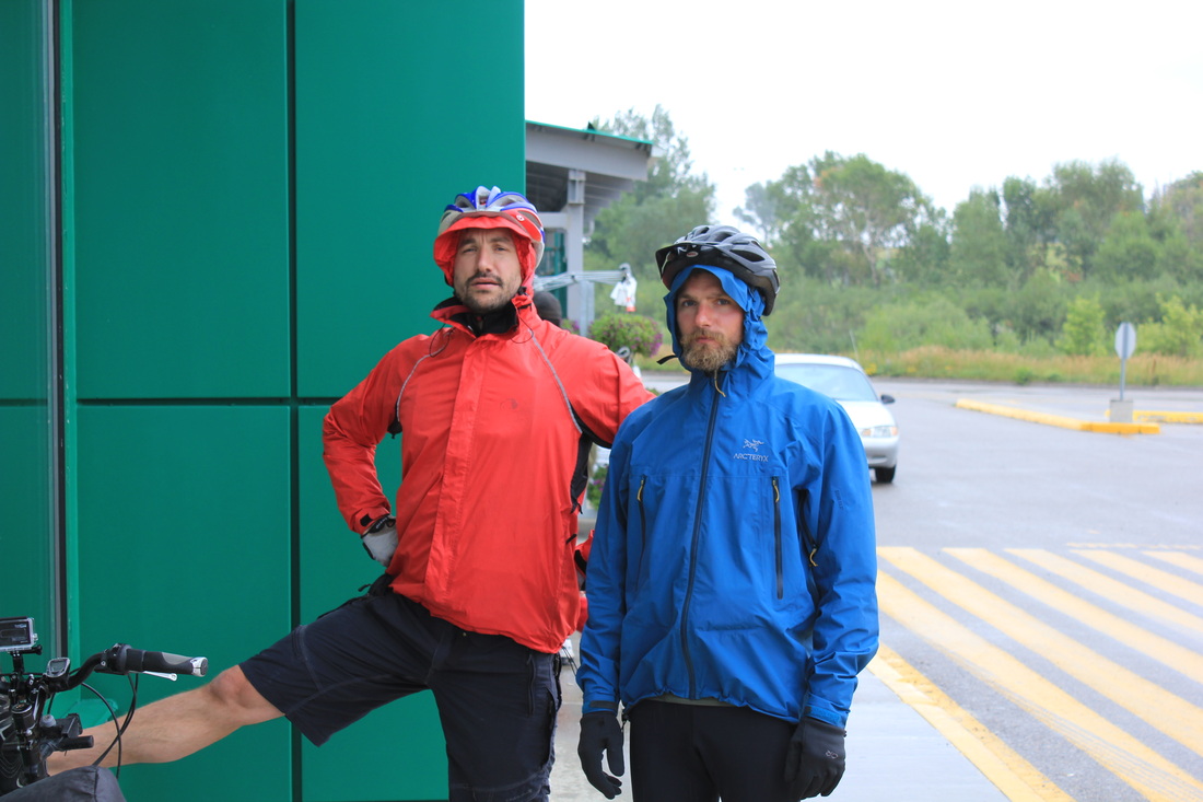
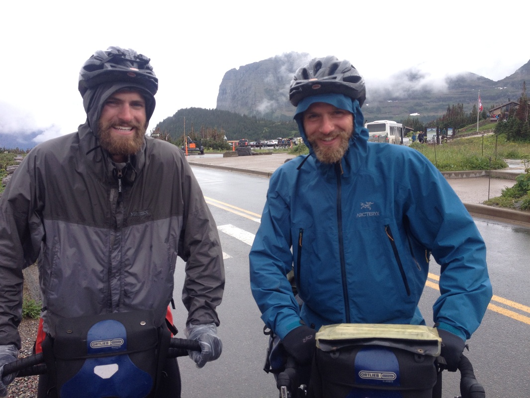
Knights in colorful armor
Just as we paused for the obligatory photos at the pass, the clouds broke! The wide valleys gaped opened and the sun lit the landscape as if a massive curtain of clouds had been pulled aside. I have ridden almost 15,000 miles on this bike, and these twenty rank among the best. We followed the wondrous road as unwound lower and lower through the glacial valleys and down to the river below.
Opening the curtain onto pure magnificence
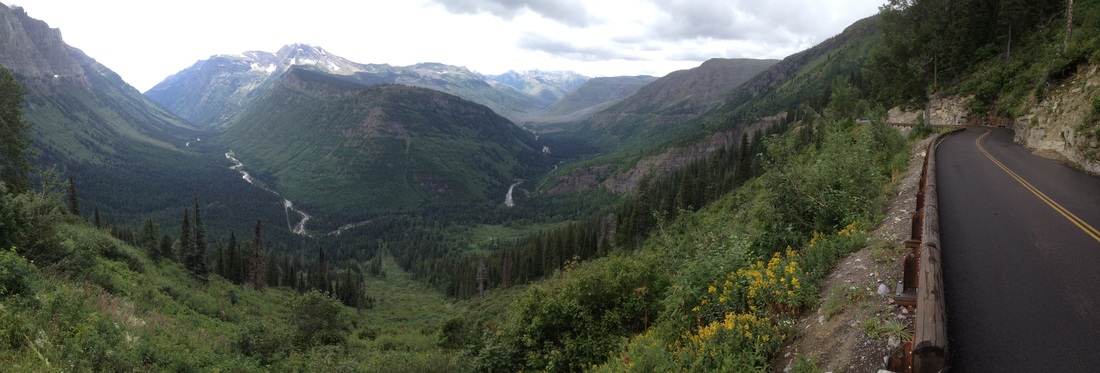
Unwinding along the mountainous walls as we drop into the valley below
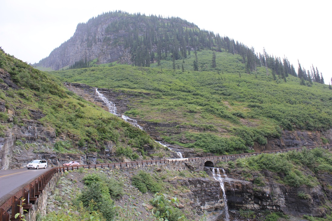
An incredible feat of engineering

A modern day explorer surveying the land below
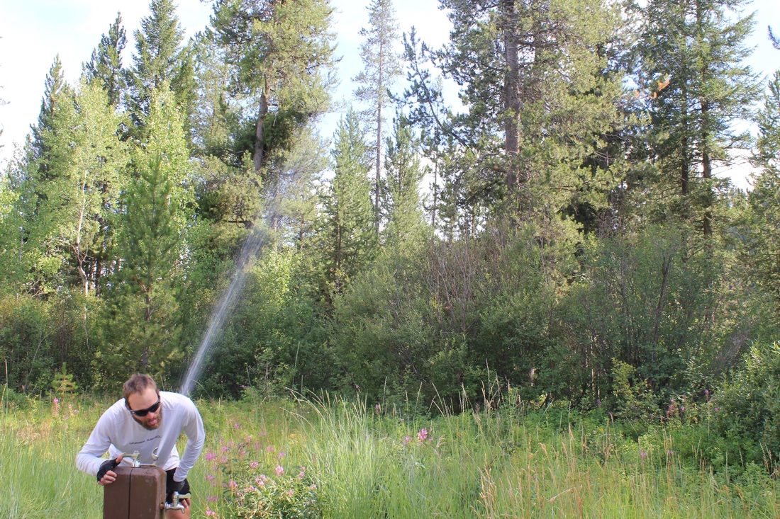
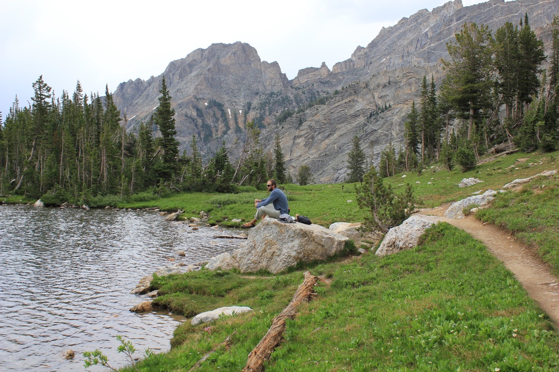
That evening we elected to camp one more day in the park. Arriving early, we sprung for a short hike up to Avalanche Lake, where we finally caught sight of our first bears of the trip. Two grown black bear cubs were foraging for food on the far shore of the small, scenic lake. It was a perfect end to the day. The next morning we awoke early and sped down into the ski-town of Whitefish for a much needed half-rest day. Clothes washed and groceries restocked, we have conquered the great continental divide a final time and are ready to make our final push to the Pacific.
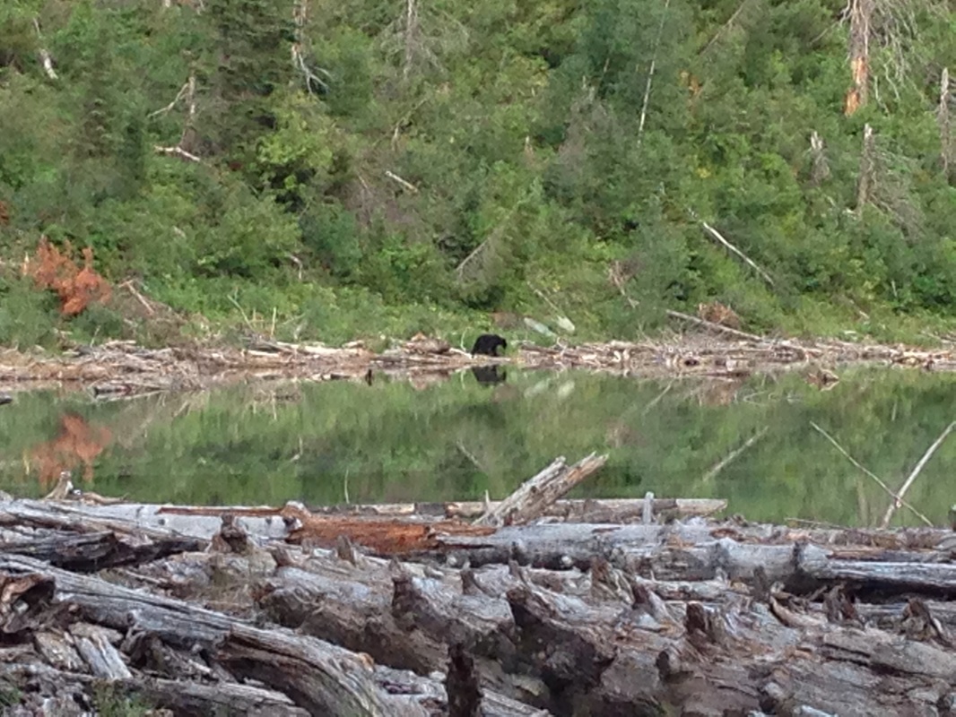
Baby black bear
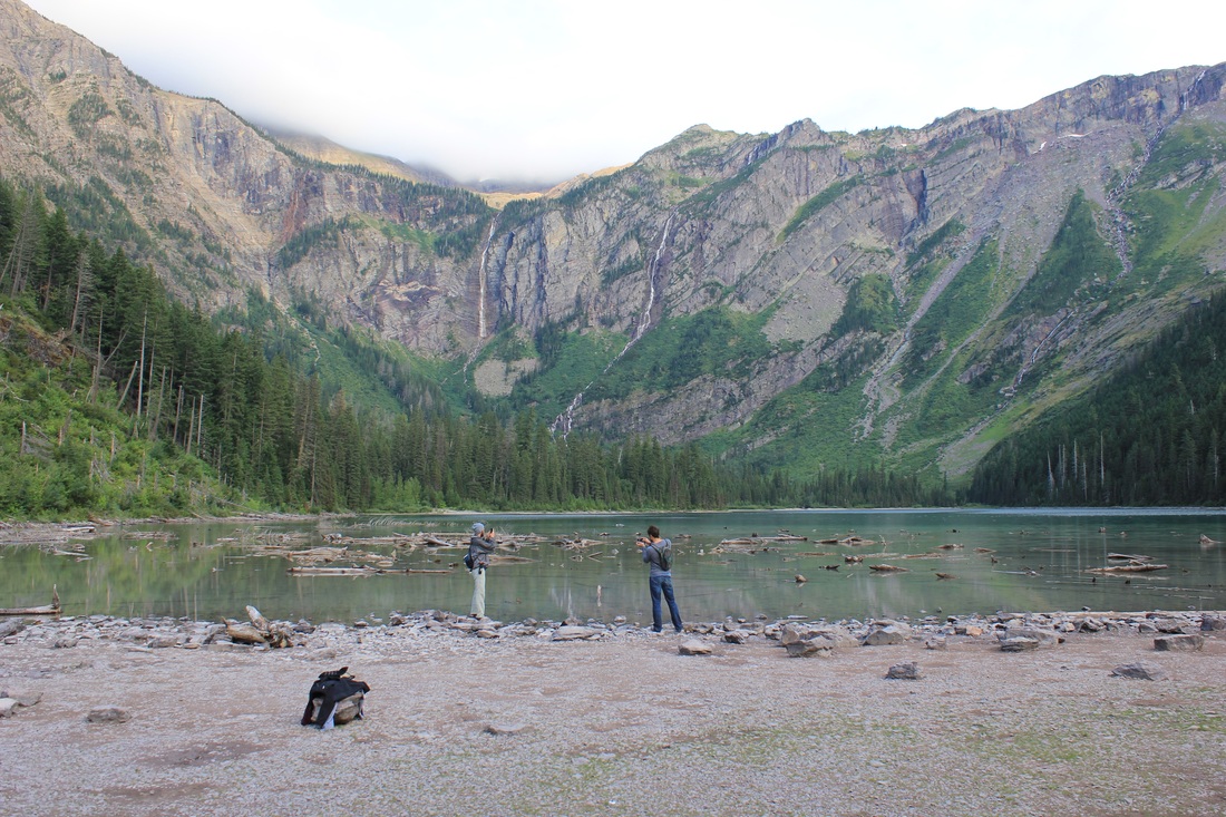
Welcoming evening at Avalanche Lake
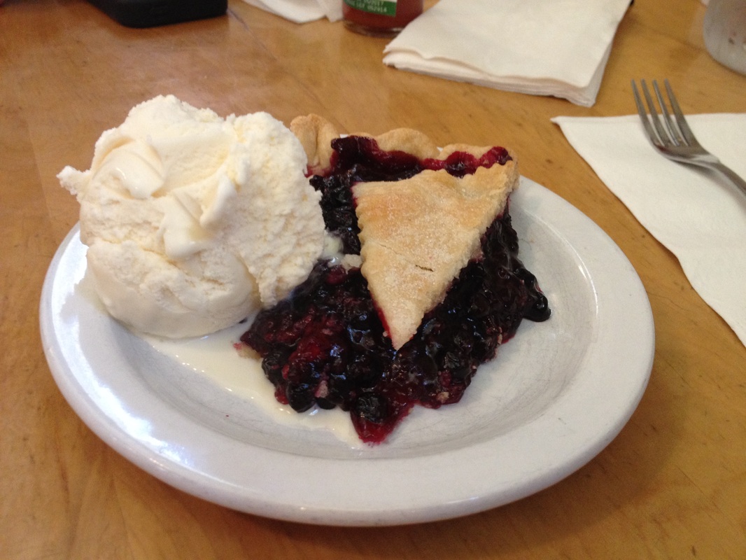
Finishing it all off with a rejuvenating piece of Huckleberry pie


 RSS Feed